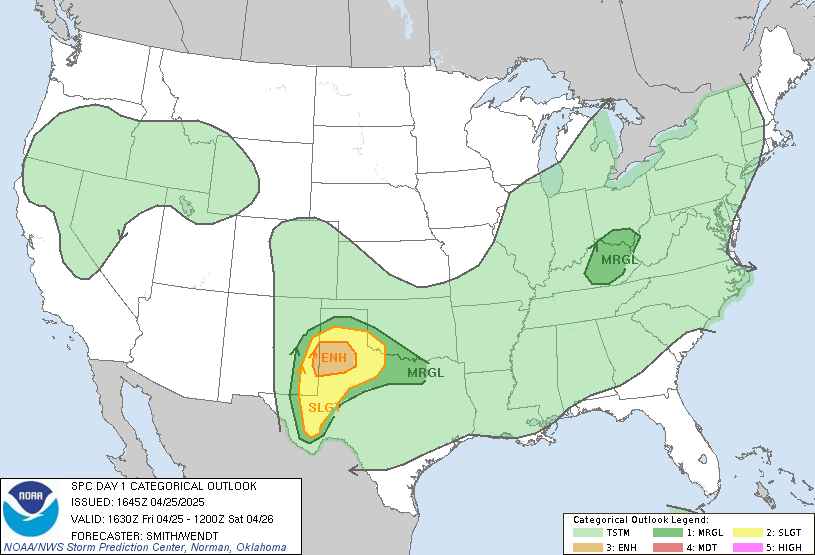
Interesting setup today. The models don't seem to be handling the moisture very well. (Edit: The 12Z NAM-WRF being the exception). As I'm typing this, a surge of moisture is advecting into the area from the north-northeast. Dewpoints in Greeley and Fort Collins have climbed into the mid 40's and suspect we'll see a decent increase in the metro area as well (where Td's currently reside in the 30's).
Winds should take on a more northwesterly component today and I'm hoping we'll see southeasterly winds on the southern slopes of the Palmer Divide. Given this setup, I can see a Palmer Divide supercell forming (maybe a bit of wishcasting on my part) and rolling to the southeast. We have enough shear for this type of storm and the divide will provide a good place for upslope and convergence, negating the generally capped atmosphere in the area.
I'll be keeping me eyes on things all day. One thing's for certain, when this moisture surge reaches the divide within the next 45 minutes, we'll see some cumulus go up.
Dann.


No comments:
Post a Comment