Sunday, March 27, 2011

2011 - February 16th - No Thoroughfare Canyon, Colorado National Monument

Since moving to Grand Junction and pouring over detailed maps of the area, I had decided that No Thoroughfare Canyon was high on my list of desirable hikes. The canyon exists as a deep cut into the uplifted Uncompahgre Plateau and basically marks the southern border of Colorado National Monument. Check out the terrain map below:


On several maps, there "intermittent" waterfalls are marked at various locations along the canyon bottom. This was enough to get me salivating. I do enjoy "destination hiking" as I like to call it, and waterfalls (like a tornado on a storm chase) are my top destinations.

I spent the day getting some chores done and went into the station to check out some weather information. There was a shortwave coming through late that night and I was hoping for thunder. We got our best version of a chinook wind going in the warm air advection pattern and I was definitely hoping, but as it got dark and the axis of the shortwave was still just reaching the Wasatch Front, I figured I had some time for a hike before sunset.

So, I drove the ten minutes to the monument entrance and set off on the No Thoroughfare Trail. A sign said that it was about a mile to the "First Pool" and then another to the "First Waterfall".

The trail deviates from the Old Gordon/Echo Canyon trail before descending into the wash and then from the Devil's Kitchen trail a bit later. The wash is actually product of the canyon itself but the trail doesn't actually meet it until a quarter mile in or so. Once down in the wash, I felt at times as if I was about to round a bend and run into C3PO and R2D2. The light was quite pretty, however, and the towering sandstone walls were lit up.


I was a little disheartened to find that the wash was dry, though there were a few frozen puddles scattered about. The air temperature was actually close to 60ºF and while I anticipated a massive amount of funneling in the canyon, it was actually quite calm.

The trail alternated between sandy/gravelly wash and rocky outcrops. The farther I traveled, the colder it got. Eventually, I made it to the first pool and found the small waterfall there frozen over.


I enjoyed the silence there for a while but didn't linger, knowing I was racing the sun on this particular hike. I did stop to take a shot of the northern wall of the canyon on the trail as it climbed up the rocky hill beside where the water is forced to fall.


The trail continues in similar fashion past the first pool, alternating between the sandy/gravelly wash and areas of rock. In many areas, now, snow and ice filled the wash and in between ran occasional trickles of water.


The air became colder and more snow could be found as I explored farther into the canyon. It also tightened at times, forcing me to scramble over slippery wet and icy rock. This slowed my progress to some extent.

Finally, I came around a bend and saw a towering, but frozen waterfall. Unfortunately, the path to it was littered with boulders covered in snow and ice. It took a considerable amount of time to transit the boulder field, but once I did, I found myself staring up at an easily eighty foot waterfall... which like the smaller plunge into the pool in the lower canyon, was quite frozen.

At the base of the fall was a deeply cut pool, which was only half-full but frozen. Water dripped down the facade of the rocks and off of long icicles down into the pool, but only a thin film of water rested atop the ice. I explored this area for quite some time, taking pictures of what I could. The waterfall faces east-northeast and with the light in the west, the light could certainly have been better.

I climbed around for different angles, trying hard not to fall and coming quite close many times. I did actually put a foot through the surface of the ice on the pool while trying to cross over it, so I did end up with a shoe full of water.


I found this small, recessed area behind the frozen falls quite worthy of a picture.

Water seemed to flow down to the tip of this ledge, dripping regularly into a small pool.


The light began to fade and I realized I still had a couple of miles to travel to get out of the canyon, with the first part being rather treacherous, so after a meal of peanut brittle, I hit the road and scrambled back over the boulders.


Just half-way between the two falls, the sun set and lit up the sky. It hadn't necessarily been a sunny day with the high cirrus shield, but somehow the sun managed to make it under and light it up. I stopped before making it to the first pool and attempted to take it in, though I was honestly mostly unsatisfied with the results.


After that, it got dark... quickly. I made good speed down the trail, however, passing the first pool without stopping. Luckily, most of the slippery terrain was behind me, so I continued rapidly toward the trail head. I tried and failed to sprain my ankle, which I was grateful for.

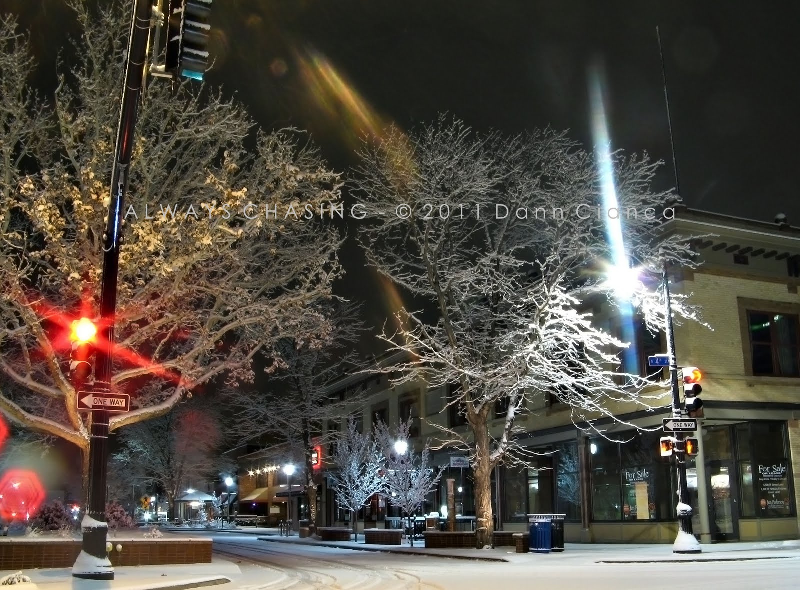
Eventually, I emerged from the canyon as darkness was fully setting in. I realized that I had been quite alone on the trail, not having encountered another hiker. At the junction of the No Thoroughfare/Devil's Kitchen trails and the Old Gordon/Echo Canyon Trail, I turned to see cumulus beginning to form over the plateau. It was obvious to me that the shortwave was getting close.

It was much darker than it would seem at this point. This is a fifteen second exposure.

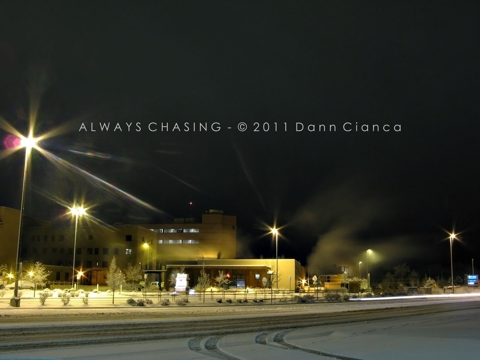
After reaching my vehicle, I headed back in to work to check out the parameters but saw that though lift was approaching, instability in the area was weak. I had thought to go attempt and see some lightning, but based on my forecast, opted not to. This was a good call on my part as though a few showers moved through the area, no discharges ever occurred.

As with Echo Canyon, I decided that I wanted to back into No Thoroughfare at a time when there was more water... whether that be during a faster melt or after rain/thunderstorms. Plus, there was still another waterfall farther up-canyon.

Dann.
Next Post: Blue Mesa Reservoir/Dillon Pinnacles, Curecanti National Recreation Area

Monday, March 21, 2011

2011 - February 15th - Echo Canyon, Colorado National Monument

After the snows of February 7th-8th, it didn't get warm again for a while. Finally, a week later, things started to warm up again. Since my first visit to Echo Canyon, I had water on my mind... specifically, large amounts of it flowing through that canyon.

On this warmer day, I took my chance on finding some water and headed out toward sunset, after finishing my day off chores.

There was a lot more snow in the canyon this time than previous, even a week after the big snow fall. This made some areas rather treacherous to walk on. Aside from the snow, the canyon was mostly in its previous state, though there was a bit more water... mostly ice in the pools and recesses of the wash. Occasionally, I could hear water dripping down off of the canyon walls.

To my dismay, however, there was not any water actively flowing down the washes in the canyon (except the lower reaches, which was flowing previously as well). When I reached the terminus of the box canyon, though, I found that the pool was completely filled and that Echo Canyon Falls, as I prefer to call them, were furiously dribbling.


I wandered around the pool for a while and tried to take interesting pictures, but the light was bad and let's face it, the dribbles are mostly uninteresting. Most of the photos I took were of the frozen water stalagmites, if you will. It was interesting to see that the water was full of a fine sediment which colored it like a café au lait.


I visited the Half Lemon Falls too and found a similar situation of drippiness, but moved on. Let me tell you, though, reaching that location was very difficult after having to climb over ice and snow-covered rocks. Treacherous!

I raced darkness on the way out of the canyon, taking it easy on the icy sandstone slopes of the Old Gordon Trail. I was hoping for a pretty sunset, but it was rather bland. Did catch the moon coming up, but it was less than fantastic.


I will say that the best part of this short hike was the smell. It's kind of hard to explain, but I think the moisture from the melting snow and the intermittent sage brush reminded me of Montana. There's something I really enjoy about that smell... it definitely brings me back to my childhood for some reason.

I wasn't necessarily happy with any of the photos that I captured, but it was good to get out and breath the fresh air and explore a bit. I love that I can be at this trail head seven minutes after walking out my front door. There are definitely some benefits to living here.

Dann.
Next Post: No Thoroughfare Canyon

Sunday, March 20, 2011

2011 - February 8th - Colorado National Monument Snow Storm Aftermath

A snow storm came to Western Colorado late on February the 7th and continued on into the night. I was up late documenting the snow in Grand Junction, which can be seen here. I set my alarm for sunup and headed up to the Monument to check out how the storm fared up there.

There were still flurries... flurrying to the ground across the Grand Valley as I approached the Monument from the Fruita entrance. The woman at the entrance station warned me to be careful since the plows had just begun to work on the road. On my way up the relatively steep switchbacks, I encountered men working to shovel off the overlooks and the road, while slippery, was plowed and sanded.

Balanced Rock in Fruita Canyon.


When I reached the visitor's center at Saddlehorn, I took the Saddlehorn loop as it has good overlooks of Monument Canyon. I was not disappointed.


I returned to Rim Rock Drive and noticed that the plowing ceased at the visitor's center. From that point on, I was treading over six inches of virgin snow. I reached the various viewpoints for Independence Monument without encountering another vehicle. I had the Monument all to my self.


It was cold and windy but the snow had pretty much tapered off. I could see that out over the Grand Valley, a few showers remained, however. The road averaged about six inches of fresh snow pack, though in some areas it was scoured bare by the wind and in others, drifts of up to a foot could be found.

Eventually, I came up on the upper reaches of Ute Canyon. The following photo is one of (if not) my favorites of the day:


The next series of photos come from the various viewpoints along Ute Canyon. I thought it was really interesting to see how the snow clung to the sides of the wingate sandstone walls.


On the way down.


Eventually, I headed out of the Monument at the Grand Junction entrance. I was rather tired after having only slept a few hours the night prior.

I was happy with the way the photos turned out for the most part, but I was definitely hoping for more sunshine and blue sky. That came after I got home and had settled down for a nap, unfortunately. All in all, it was nice, peaceful morning of exploring. I found out later that the road was actually supposedly closed... though no one had informed me of the fact. Der Schploder handled the snow fine... I didn't even have to put it in four-wheel.

Dann.
Next Post: A return to Echo Canyon.

Friday, March 18, 2011

2011 - February 7th-8th - Grand Junction Snow Storm

Normally on a Monday night, I head off to Mesa State to play basketball with co-workers and other local TV people. We don't start until 11PM or so after everyone's 10PM shows are done, so I was watching a movie to pass the time.

I thought to look out the window at one point and found that extremely large dendrites were falling from the sky. Within 45 minutes, at least two inches of snow had fallen. I decided to forgo basketball and document the snow storm locally as it kept coming down heavy.

Looking west on my street, Belford Avenue.

Der Schploder idling on Rood Avenue

Alpine Bank Building at Rood and 5th. I was using a light in the parking lot to illuminate the falling snow.

Used the flash to capture individual flakes at the end of the exposure, which does havoc with the white balance... but I love the result anyway.


Main and 4th.


The old federal building on Rood Ave.

An old church on White and 3rd.

Steam rises from Saint Mary's Hospital from 7th and Patterson.

An older house on 7th Street.


Most areas in the Grand Valley received between 3 and 5 inches from this storm, which may not seem like much to most. However, the climate is rather dry out here and the snowfall rates were definitely extreme for this area.

All in all, a fun night, and the next morning, I headed up to the Monument...

Dann.
Note: Couldn't help the lens flares... my camera is so old and scratched up it isn't funny. Still does the trick for the most part, though.