*Click on any image for a larger view.Before moving to Grand Junction, I studied maps of the area. I have a propensity to explore and I knew the area's unique topography would be calling to me. I like to have a destination or perhaps something to conquer when I am out, be it a mountain summit, lake, waterfall or other geographical feature. Maybe that is why I decided to take on Mount Garfield at my first available moment. Here is a picture I took on January 10th, just to illustrate its relief:

I get two days off in the middle of the week each week and the 19th and 20th would mark the first "weekend" that I would actually be around, unlike the previous when I returned to Denver. I used the 19th to catch up on unpacking, laundry and errands ... and of course a little storm chasing. The 20th, however, was all mine. After a generous amount of sleeping-in (don't worry, it was still morning), I headed out to Palisade and under I-70 to the trail head. I co-worker of mine warned me that the first part of the hike was quite challenging. My bravado aside, I'm not sure I was prepared!
The trail rides the crest of an eroded ridge which looks very sandy. While the very surface of it is loose, the ridge itself is quite stable. Looks can be deceiving in this case. I immediately started trucking up the trail which began at about 4,800ft. I soon found myself hot and gasping for breath in the 35ºF air. I repeated this maneuver quite frequently: trudging uphill with my head down and then resting periodically.
 View from half-way up the first ridge.
The trail continues to ride the crest of the ridge and winds around haphazardly-strewn sandstone monoliths. Eventually the ridge disappears into the side of the mountain itself and I found myself scaling its steep sides, trying not to slip on the loose earth and dodging in and out of boulders. Vegetation was sparse if there at all and only a few hearty piñon pines sprouted from the rocky slope.


I felt as if I had been climbing for hours when in reality I had just started. Since the trail begins about a mile east of where the actual summit is, the promontory actually disappears behind the ridge, so it is hard to judge distance. I thought I was making good progress but I still had a long way to go.
The clear blue sky of the early morning was soon replaced by some cirrus, taking the form of mare's tails. I consider this to be a very equine omen.


Eventually, I scrambled to the top of the horizon and I figured I would be rather close to the summit, but I was quite wrong. The first summit immediately flattens out into a wide park, sitting into the side of the mountain like a bench. It was here that a met a gentleman descending the trail. "Beautiful day," he said. Indeed.
The trail curved to the west at this point and I could see what I thought was the top of the mountain. This leveled-off area gave me new strength and I hastened my ascent, climbing back into a scramble between boulders and a few more trees. Nearing the top, I realized that the crags of rocks to my west were not my destination, but an rocky ledge marking yet another false summit.
I traversed a second park covered in crusty, old snow and the trail slowly rose and approached a cliff, like a mathematical limit. The trail was then a part of the cliff; just a ledge cut into the side with a precipitous drop to the left. The trail actually followed a coal seam which which was at about a man's height. The January sun was heating the dark mineral and it made the 35ºF ambient temperature feel much warmer. I paused for a moment to look down and saw what I thought to be creatures moving around. Upon further inspection and a zoom with my camera, I realized I was looking at three wild horses (actually four after looking at the photo).

Mount Garfield marks the highest point and southernmost promontory of the Bookcliffs, which stretch from Palisade, Colorado along the north edge of the Grand Valley all the way into Utah. The trail basically follows the cliffs to the top and after hiking along these cliffs, I eventually came to a pass before the final ascent to the summit of Garfield. Here, the wind was strong as cold, dense air in the Coal Canyon drainage poured out into the Grand Valley.
From here, the trail curves back to the north, on the back side of Mount Garfield. Unfortunately, the shadowed trail was covered with snow and ice. To my surprise, a woman passed me on the trail seemingly leapt up the back of the mountain, unconcerned with the ice. She did not linger to talk as I gingerly bumbled up the same trail.
Eventually, the trail curved back south and back into the sunshine. From there, it was only a mild incline to the eventual summit. Finally reaching the top, I wandered around for a bit, taking in the incredible views. To be honest, I was pretty tired from the ascent and eventually resigned myself to sitting on a rock and eating some peanut brittle that my grandparents had given me for Christmas.
The air temperature was 29ºF at the top but the wind made it feel much colder. I had to move around occasionally to keep warm; of course it didn't help that the vigorous ascent had manifested a decent quantity of sweat which felt quite chilly in the wind.
All told, I stayed on the summit for close to an hour, taking in different views and angles and mostly avoiding the icy descent on the back-side.
 View of the summit and the distant Grand Valley.
 Self-portrait, teetering on the ledge with a 2,000 ft plummet of doom a step back. Not sure why I'm only wearing one glove. Peanut brittle bag is visible, lower left.
 My shoe, the drop and the valley between Palisade and Clifton.
 Detail of the eroded roots of the Bookcliffs.
 The Bookcliffs to the northwest.
 Distant view to Battlement Mesa.
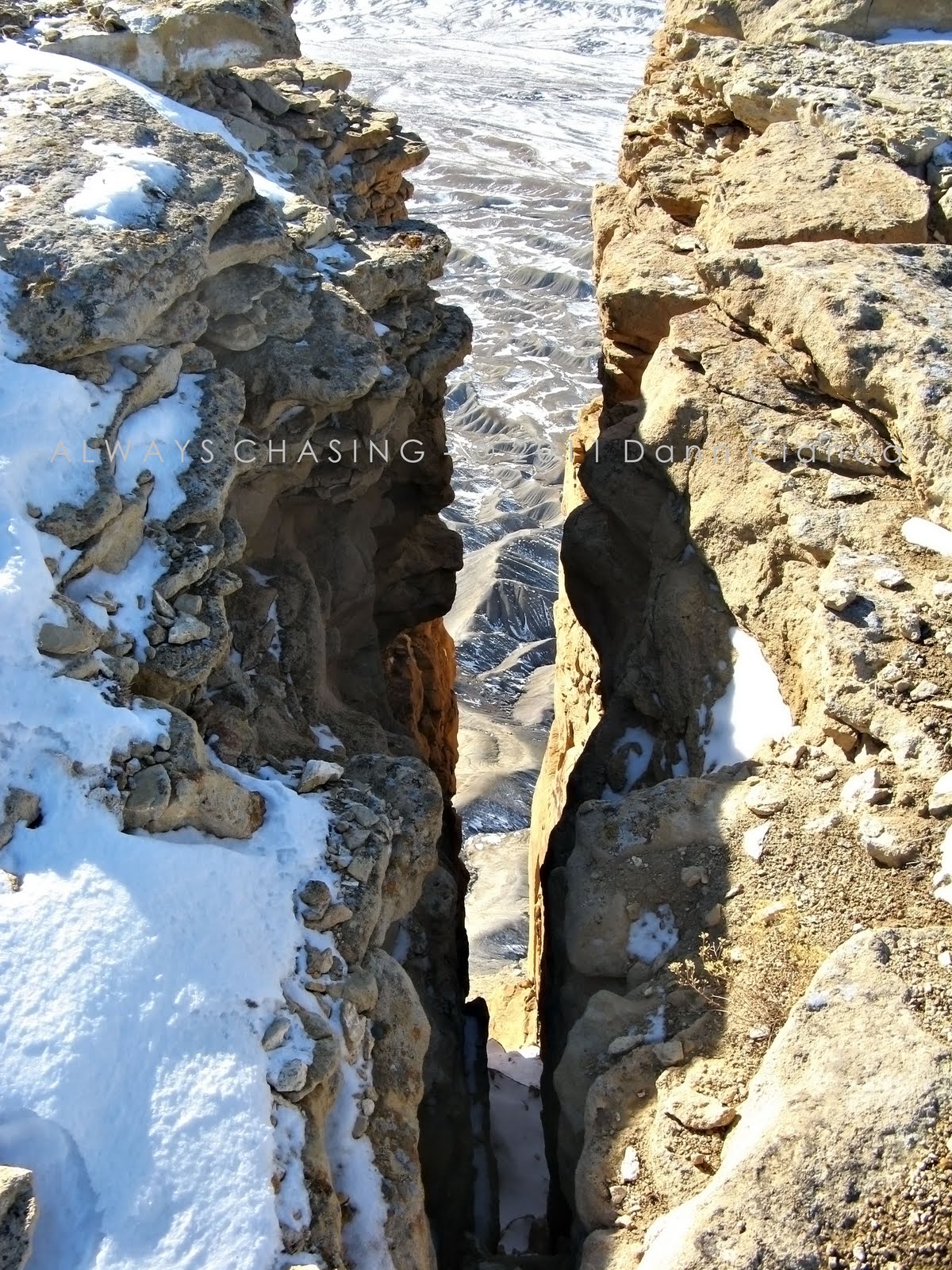
 Crevice!
 Summit view and Grand Mesa distant.
 Sense of scale.
 Bookcliffs again.
 Another crevice.
 Grand Mesa and Palisade from the south side of the summit.
 Grand Junction and the distant Colorado National Monument.

 USGS Benchmark.
 Grand Mesa view.
 Grand Mesa view, detail.
 Palisade view.
Eventually, I had to leave the summit and engage in the difficult descent down. I stopped again for a few photographic opportunities before packing up my camera and reluctantly sliding down a few slopes on my behind. Luckily, I thought to bring gloves with me and this certainly helped me keep control as I maneuvered on the ice and snow.


 The pass into Coal Canyon.
 From the icy northern slope and distant Grand Mesa.
Back in the sunshine again, I was happy to leave the pass and get back on the cliff-side trail along the coal seam. The air was very warm along the dark rock and heading in the opposite direction, afforded a great view of the trip up. In the pictures below, note the snowy flat area. That is the "second park" or "false summit" described above. The "first summit" is also visibly snowy area, but more distant (not the lower foreground areas).


 Coal seam detail pictures:

The rest of the trip down was very rough on my knees. My quads were shaking quite a bit as I descended. I passed a few folks enjoying the beautiful weather and one man was shirtless. Recalling how cold I was at the summit, it made me shiver.
Eventually, I made it back to the final descent down the crest of the hard, sandy ridge. At times, I came to a trot as for whatever reason, it almost seemed easier on my knees; different muscle groups, I suppose.
 The ridges east of the trail ridge.
 The view down the final descent.
 Self-portrait (shadow, lower left).
Finally at the bottom, I snapped a few frames of the hoodoos in the gulches. The whole area is very interesting, geologically.


The Mount Garfield Trail is only two miles long (four, round-trip), but ascends just a little over 2,000ft over that distance. I was a little unprepared for the hike and probably should have taken it a little slower. I cannot imagine doing this in the heat of summer, so I'm glad I've gotten it out of the way on a nice cool day! I may try again in the spring when the vegetation (what little there is) is turning green. The view is certainly worth it.
Here is a map that I created to illustrate the trail:

Dann.


 The trail out of the canyon.
 Rock formations near the trail