Thursday, May 27, 2010

2010 Storm Chase 17 Teaser (May 26th)

After work, myself and Ben Carr headed out on a brief chase. After traffic and storm choice frustrations, we found ourselves on a beautiful supercell transiting the north side of the metro area. ... and I had a flat tire.


... and then another supercell behind the first.


Beautiful evening!

... and a special thanks to Brian Barnes of http://www.stormchase.com/ for lending me a jack to help me change my flat. I appreciate it!!!

Dann.

Monday, May 24, 2010

May 23rd Late Night Mystery

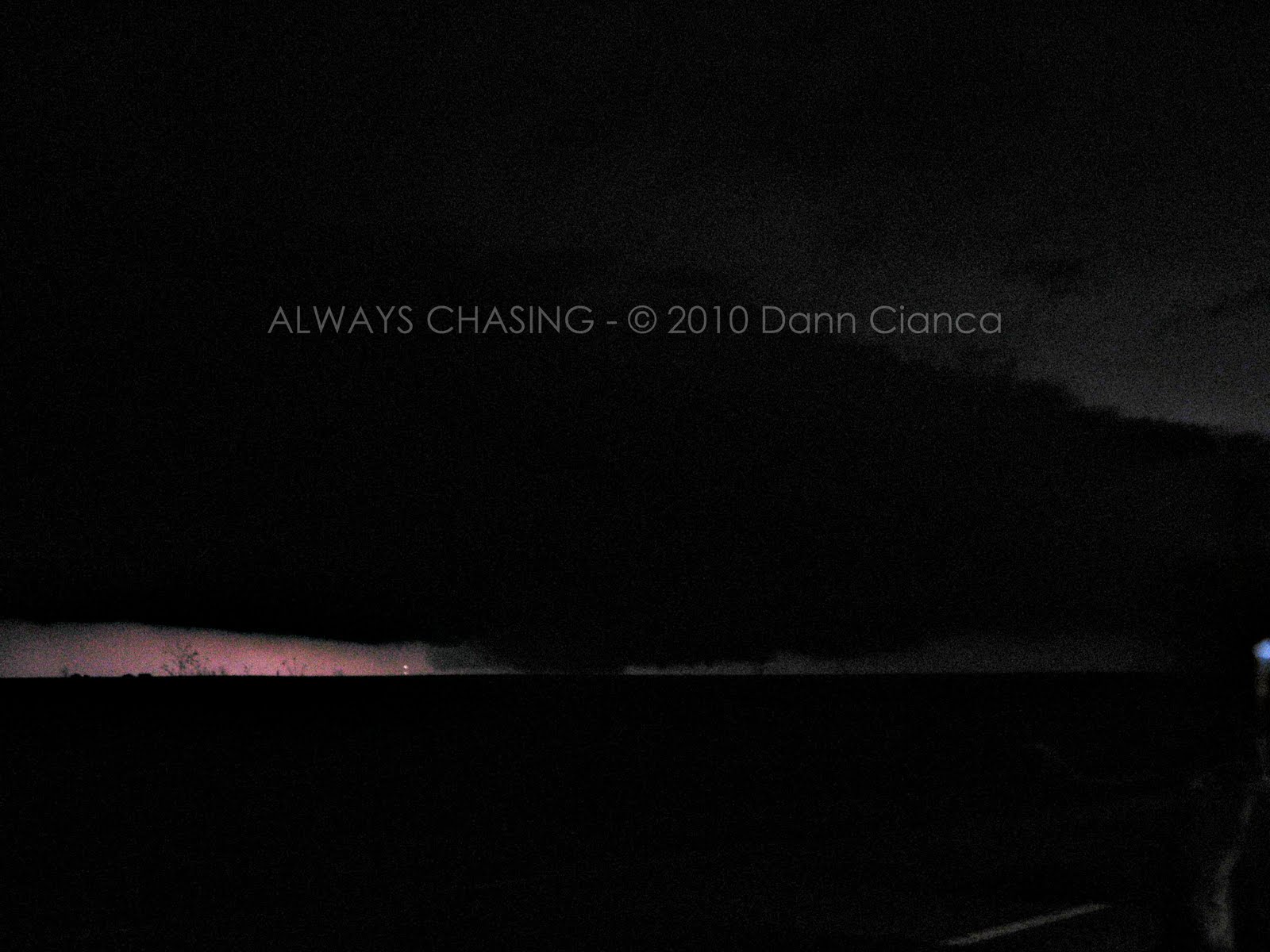
The following pictures were all taken from US40 near the Logan/Wallace County border in Kansas and are pointed to the Northeast. At the time, (about 10:30PM CDT/330Z) there was a decent velocity couplet on radar. It was difficult to see exactly what was happening unless there was lightning lighting up the cloudbase.

I'm hoping someone else was out on this storm and has additional documentation on what we were seeing. I called the Goodland NWS and the gentleman on the phone was more interested in talking to me about how windy it was in Goodland. I was trying to explain that there was a ground-scraping wall cloud (at the very least), but no tornado warning was ever issued on the storm.

Also, as far as I know, no damage was reported in the area either.

Interested in hearing comments.


Images are all enhanced for contrast. Click on images for a much larger view.


Dann.
PS: Have video of the same event, though I'm not sure it will add substantial weight to the situation as I think my long camera exposures (15sec) did a better job. Then again, I haven't really been able to look at the video.

2010 Storm Chase 16 Teaser (May 23rd)

Beautiful storm, but this is as close as it got... (north of Leoti, Kansas)


Sunset, west of Leoti, Kansas


If this wasn't down, it was close... very close. (Logan County, KS on US40 near the Wallace County border, looking NE)


Dann.

Sunday, May 23, 2010

May 22-23 Update

At the last minute, we bailed on our chase to Nebraska/South Dakota... now before you say anything, I did the math...we wouldn't have made it in time! So, I don't feel too bad.

Now Sunday... Western Kansas has our eye. Will be there.

Saturday, May 22, 2010

May 21-23 Update

Busted yesterday (Friday) in Colorado. As soon as we set off and there was minor convection up in Wyoming, I started thinking about the LaGrange day last year and how I stayed in Colorado and it bit me. Well, déja vu. The cap held in Colorado and nothing went up.

Hoping for a better day today in Nebraska/South Dakota.

Will also likely be in Western Kansas tomorrow, though the low level hodos look a little weak.

Tuesday, May 18, 2010

2010 Storm Chase 14 Teaser - May 18th - Colorado

Intercepted two tornado-warned cells tonight northeast of Denver, neither of which produced, though we were in a ground circulation under the meso for a few minutes.


Sunday, May 16, 2010

2010 Storm Chase 13 Teaser - May 15th, Colorado

Went into today with low expectations and was pleasantly surprised by the beautiful storms and terrain in southeast Colorado... then things got better... a lot better. The three images below are from a nice tornado-warned supercell southeast of Pueblo. I have TONS more pics but will likely not get to editing them for a long time since I'm so backlogged at the moment. Figured I'd share a couple, though.


Unfortunately, I had just switched to a lower F stop right before taking this picture... going from 6 to 4 or so... but it was definitely a close one!

Dann.