
I have been back to the area twice since, adventures which can be found here and here. Recently, I read somewhere online that a tributary to Rough Canyon contains a short slot canyon. I put the trek on hold for a few weeks to let my lower back heal up, but once I was confident that everything was status quo, I hit the trail.
... and it just so happened to be a gorgeous day out as well. In fact, a storm would be arriving the next day, so this was the warm day before the storm. As I reached the trail, wave clouds were already hanging in the lee of the Uncompahgre Plateau and the drainage winds from the upper reaches of the valleys were strong.
Rough Canyon is reached via the Bangs Canyon trailhead. You can either decent directly into the middle portion of the canyon or take the Tabeguache Trail down to the top of the lower section of the canyon. I elected to take the latter route.
As I worked my way down the slickrock expanses of the Tabeguache Trail, I seemed to be on the cusp of sunshine the entire time. It was like I was tracing the edge of the shadow of the giant wave cloud. It was nice: not too hot, not too cold.

Looking west into the upper reaches of Rough and Ladder Canyons.

Sun and sandstone.
My plan was to head back up-canyon once I reached Rough Canyon Falls. The trip down the Tabeguache Trail went quickly and the breeze accompanying the warmer temperatures actually felt quite nice.
At the falls, I stopped to snap a picture since the last time I was in the area, I forgot. It is much more impressive when there is water flowing, but alas, the desert doesn't give up her water easily.

Down Rough Canyon Falls.

Pools above the falls. Soon they will be filled with canyon tree frogs.
Only a quarter mile upstream, the most impressive fork of the canyon branches off to the west. I call this the Clarks Fork of Rough Canyon since it is the main drainage into Rough Canyon from Clarks Bench. I had most of the day to play with, so I dove in. Based on satellite imagery, I figured the portion of the canyon that I wanted to explore was only a little bit upstream.

Heading into Clarks Fork of Rough Canyon.
The mid-day sun cast a nice glow into the shadowed recesses of this tight canyon and aside from it being tangled with undergrowth in places, it was rather pleasant.

After a short while, I turned the corner into a wonderful little hollow. There was a lone Cottonwood Tree standing in its center and a wide ice flow down the middle. At the far end, water trickled down a small waterfall. Most of the floor of the hollow was uninterrupted stone, making it feel like a large open room.


"Clarks Hollow"
It didn't really seem to fit the picture that I had in my head of the area, but I was definitely satisfied with the discovery. I spent a good, long while lingering in the area and taking photos. I even made a half hearted attempt to climb the waterfall, but it was slippery and there just weren't any good places to put my feet.

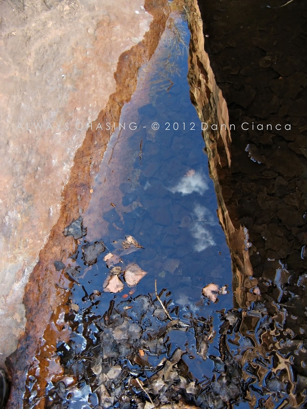
Pool reflecting the canyon above the falls.


Self-portrait.

A moment in the sun.


Above




... and I didn't bring my skates!

It got a little chilly in the shadows as I spent a lot of the time on my belly, trying to get some close-ups of the various inanimate inhabitants. So, I decided to find a patch of sunshine and sit for a while. I had a little trail mix and soaked in the atmosphere.

Amazing light and color.
Since my climbing capabilities didn't lend themselves to allowing me any progress upstream, I headed on back out of this little side canyon. On the way out, I spotted two juniper berries sitting in a sandy bowl in the slickrock. They were begging to have their image made. I think the lines in the sand may have been bird prints, but I'm not certain.


This is my favorite image from the entire hike.
Once I returned to the main canyon, I felt a lot warmer. The sun was out in full force and aside from an occasional gust of wind, the air was fantastic. The light, too, seemed to make the entire canyon glow, even though it was just past noon.


Compare the image above to the one below, which was taken during runoff.

The only difference in my return up-canyon than my previous trek was that I wanted to go to the bottom of what I had previously called "black pool falls". The trail climbs the side of the canyon and joins the wash at the top of the falls, but the pool at the bottom is not along the trail. I had to slide down into it from along the trail last time, but this time, I wanted to approach it from the bottom directly. I had tried on my trip during the runoff but was turned back because of water and boulders. Well, the boulders were still there and relatively impassable, so I thought to start to climb up the east side of the canyon instead and then let myself back down in. This technique worked, though I wouldn't necessarily call it the "easy way."

A new path.
When I reached the bottom of the black pool, it was in full sunlight. That kind of destroyed the mystique. While there was some ice (and trash) where the pool used to be, it wasn't very impressive. I thought I might be able to climb up this waterfall too, but I was wrong, so I just took a few pictures.

The not-so-black pool.

Threshold

I ascended the gravelly slope on the west side of the canyon and got back on the trail. If you've ever read that this part of the trail is slightly "exposed", please note the below photo. You're looking at the trail.

Now in the upper reaches of the canyon, I was planning another side-trip to the petroglyphs. Suddenly, I noticed a creature at my feet. It was a little Canyon Mouse and it was acting strange. At first, I thought it was sleeping, because it didn't move. So, I got down on my belly to take a few photos. When it didn't seem too disturbed by my presence, I used a small stick to gently prod it into moving. It responded lethargically. I actually tried to pick it up by the back of the neck like I would have with my hamsters so long ago and that, at least got a reaction out of it. After that, I left it alone and it slowly wedged itself under a rock. In retrospect, I shouldn't have touched it, but it's two weeks later now and I don't have the hantavirus, so ... yay!


And then, one last stop at the petroglyphs on my way out. I try to pretend that they aren't horribly vandalized.


All in all, it was a perfect day for a hike. The weather was fantastic and though I have been on the trail, I found some new things and saw some new angles.
Here's a useful map:

Dann.


