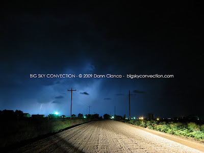
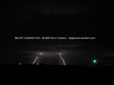
Went on a little impromptu chase tonight. The plan was lightning but the northern storms strengthened and I realized I was within interception distance. I coordinated a bit with Tony Laubach who was ahead of me. He spent time time enjoying the core of the southern, now-severe-warned cell. I danced in and got some (not measured) nickel-sized hail mixed in with the rain. I blasted east toward Greeley and got ahead of it to see some interesting structure. It became tornado-warned at that point (in addition to a northern cell that was also t-warned). I stair-stepped north and east, keeping an eye on things. Saw a brief wall cloud but was in outflow the entire time, so if it was rotating, the inflow was elevated and not surface-based. Ran into a friend, Chris Andersen, north of Gill and stopped to chat and shoot lightning for a while. Here are a few images:


Dann.


3 comments:
As always great lightning photos. I really like the CGs.
Sweeet shots man! Well done as always!
Thanks guys!!
Post a Comment